Getting Started
The SatVu platform gives you self service access to the highest-resolution thermal satellite imagery ever commercially available. The platform comprises of a web application, Python SDK and RESTful API, providing flexible access to satellite data for experts and newcomers alike.
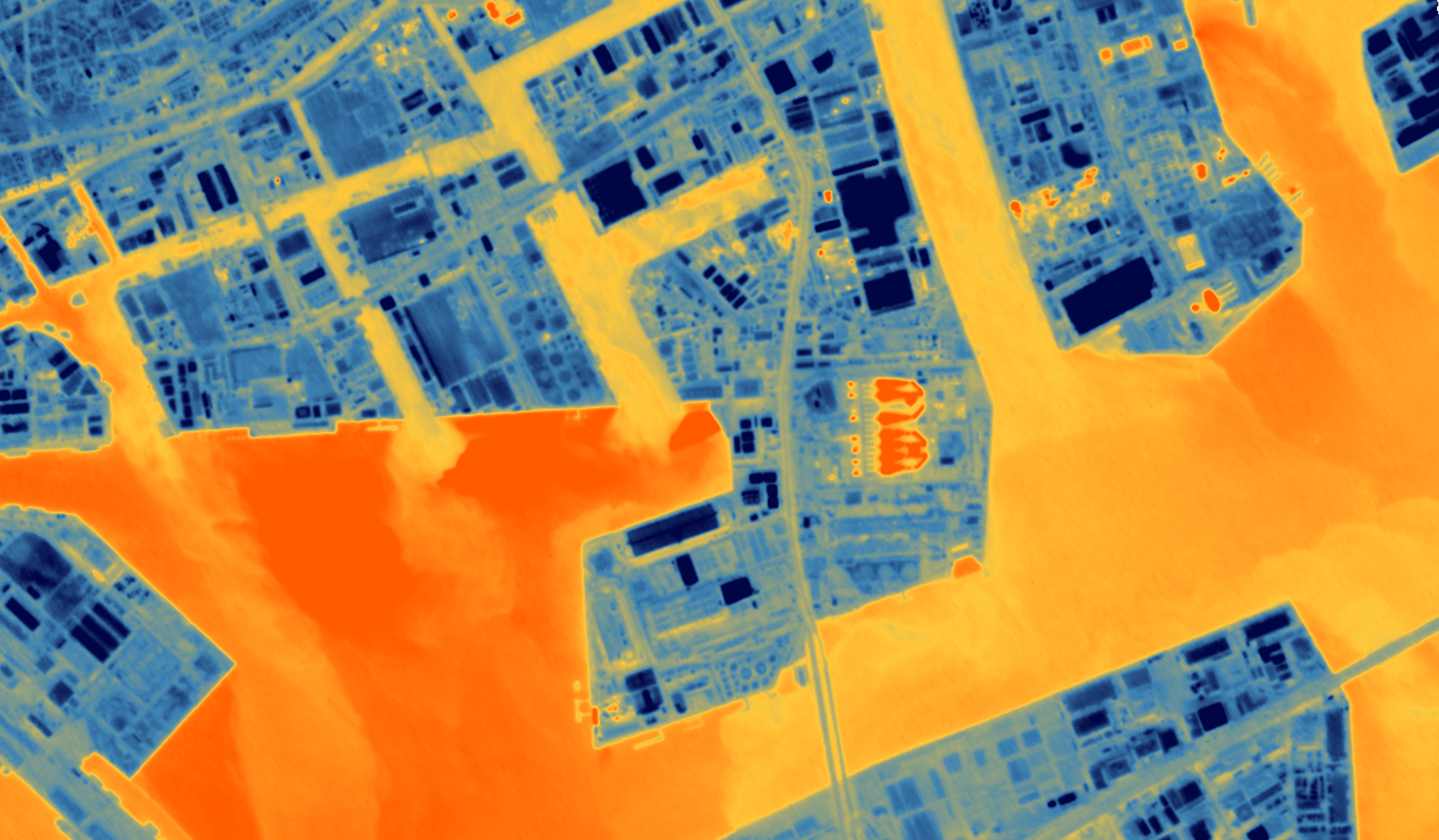
This documentation provides all the information needed to successfully retrieve data following two main types of requests:
- Satellite tasking - the process of requesting a new image collection. You can specify a location, time frame and other parameters for the image collection. SatVu platform provides a transparent price estimation, a straightforward feasibility check, intuitive order monitoring, and fast data delivery.
- Catalog access - We also provide access to historical data: scenes that have already been captured by our satellite. You can search for data using multiple parameters, including location and time frame. Ordering from the catalog allows you to retrieve data in a matter of seconds.
Using our documentation
The SatVu documentation is organised into various sections:
| Section | Description |
|---|---|
| Platform Guides | Provides general information about core principles, and guides on how to use the Web application |
| Imagery Guides | Additional information on our imagery specification, and how to utilise and analyse the imagery products |
| Developer Guides | Outline of the key principles of our API and SDK, along with tutorials on key API workflows within the SatVu platform |
| API reference | Full specification for all services and endpoints within the SatVu API |
The Accessing SatVu platform page describes how to start using the platform, the concept of the contract and how SatVu platform features are connected with the contractual model.